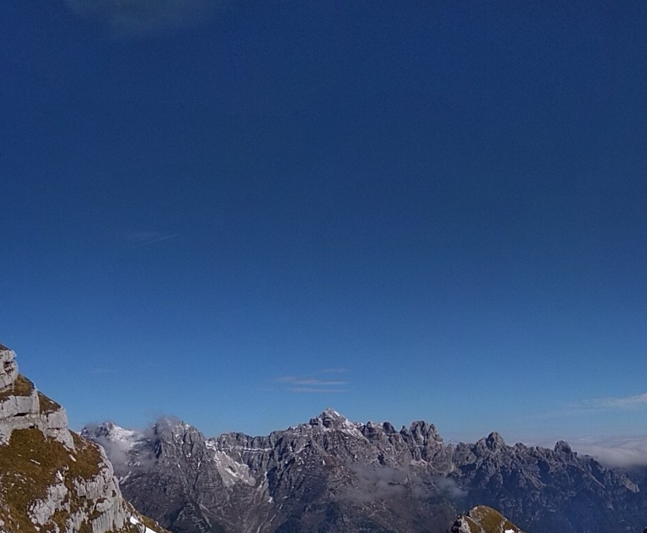
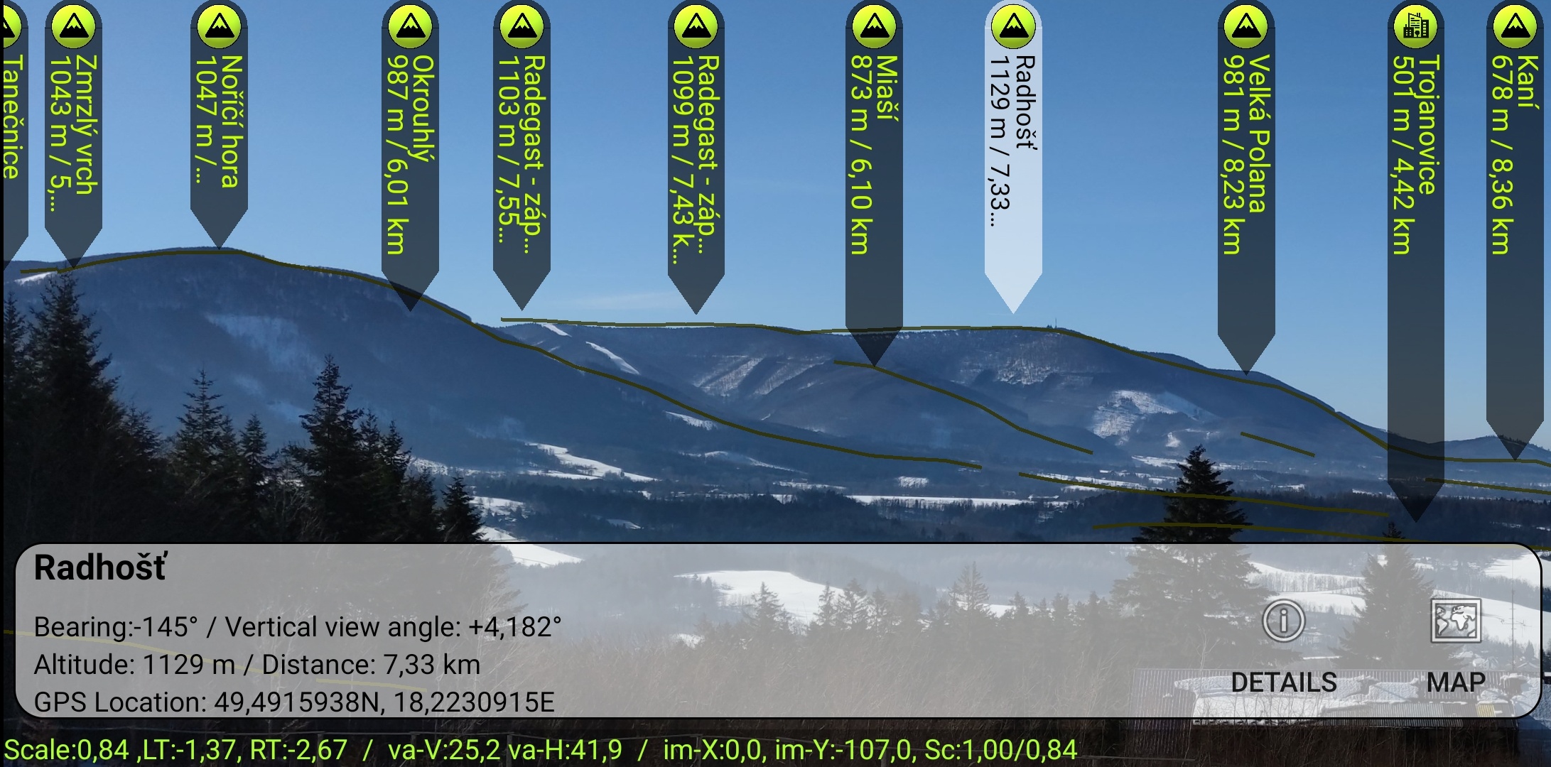
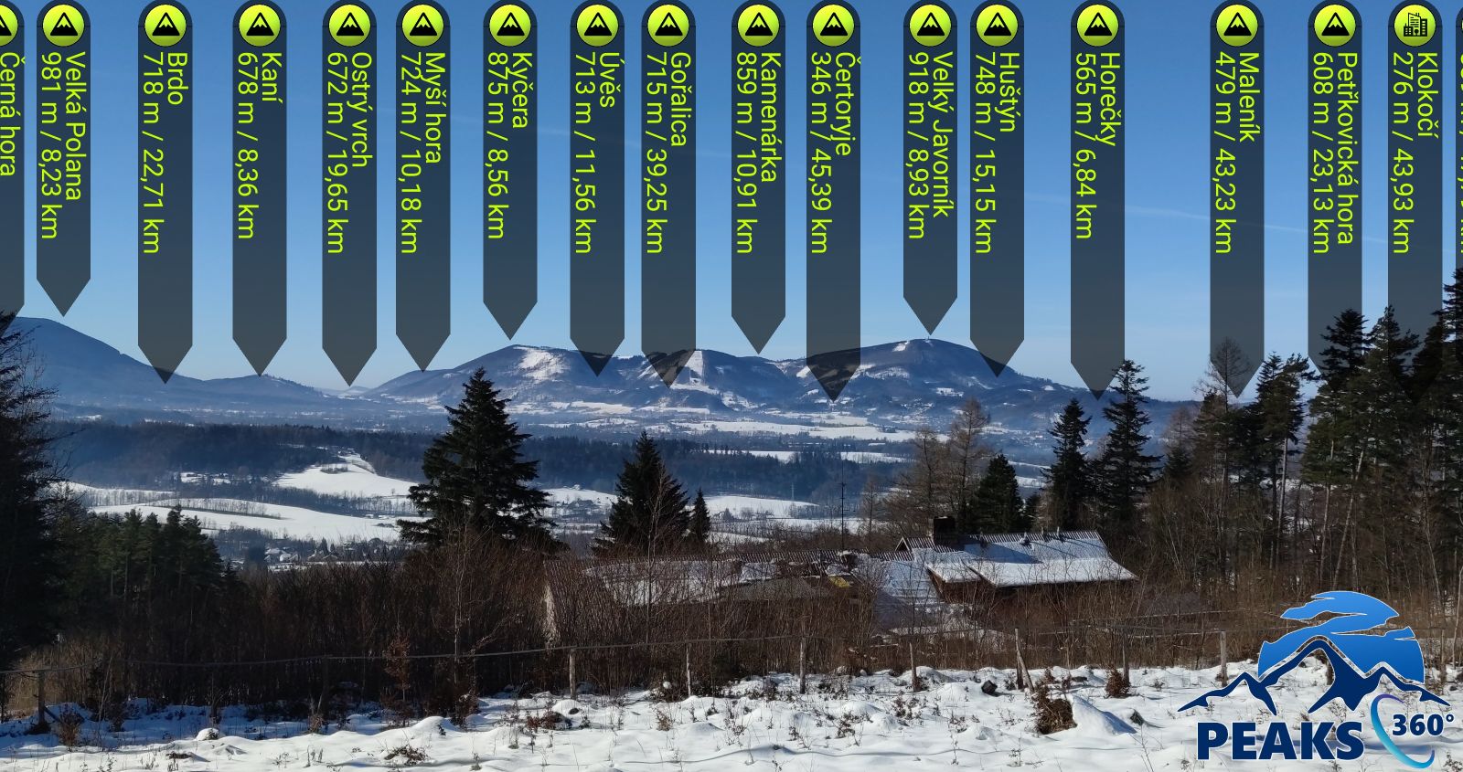
Get familiar with the peaks and other geographic objects around you.


Unsplashed background img 2


Key Features


Have you ever wanted to know all the names of peaks and other geographical objects around you? Then we have something for you exactly. Peaks 360 application uses augmented reality to show comprehensibly all the names and much more.

Application Features
  • Possibility to download elevation/terrain data for offline use.
  • Direct links to wikipedia or wikidata.
  • Possiblity to make a picture, then you can edit and share the picture.
  • Possibility to add your own points of interest.

Object database

  • Seven point categories - peaks, view towers, transmitters, towns and villages, castles and palaces, lakes and dams, churches and cathedrals.
  • Almost 800.000 points of interest all over the european countries.

Comprehensibility

  • User friendly app even for beginners.
  • The application is localized to 6 languages - English, Spanish, German, Italian, French and Czech.
  • In-app tutorials explaining advanced features and teaching users how to use the application.

img


Screenshots


About Us

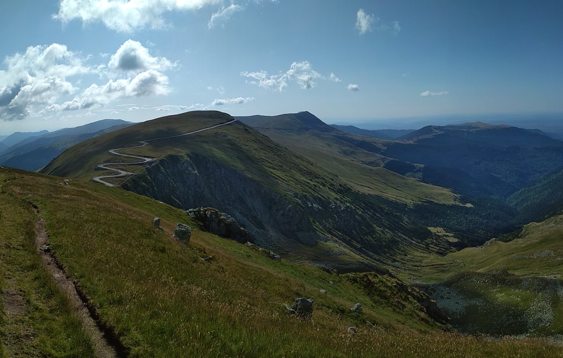
We are developers with over 20 years experience with software development. We enjoy programming but we are also keen on hiking and travelling. But what we like the most are the breath taking views from top of the hill. Especially when we know what we are loooking at :-).

Download Peaks360 application

and enjoy that view with us.

img